Earthquake Early Warning: How ShakeAlert Buys You Seconds
Direct answer: ShakeAlert is the earthquake early warning system for the US West Coast, and it does one thing: it buys you seconds. It cannot predict an earthquake. Instead, sensors feel the first, fast seismic waves the moment a quake begins, computers work out where it is and how strong it will be, and an alert goes out before the slower, damaging waves arrive. Those seconds are enough to drop, cover and hold on — or for a train to slow down and a lift to stop at the nearest floor.
Why a warning is possible at all
An earthquake does not arrive all at once. When a fault ruptures, it sends out different kinds of waves. The fastest, the primary or P-waves, travel at about 3.7 miles per second and usually cause little damage. The slower secondary or S-waves and surface waves, at about 2.5 miles per second, do most of the destruction. The USGS puts it plainly: ShakeAlert works because P-waves travel almost twice as fast as the damaging waves, while shaking data reaches processing centres at virtually the speed of light. So a sensor near the epicentre can spot the P-wave, and the warning can outrun the shaking.
How the system works
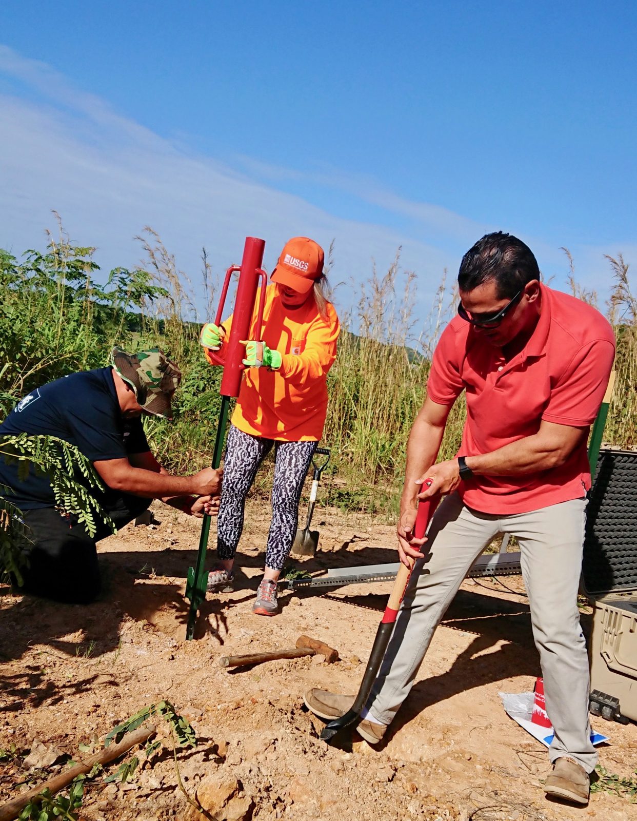
More than 1,300 seismic sensors are installed across the West Coast, with a goal of 1,675 stations, and the network keeps growing. When the ground starts moving, the sensors send their data to a processing centre, which estimates the location, magnitude and shaking intensity of the earthquake in seconds. If the quake is large enough to meet USGS alerting thresholds, the USGS issues a data package called a ShakeAlert Message. Licensed technical partners then turn that data into phone alerts, public address announcements or automated actions. The USGS combines data from sensors across a wide area to get the best estimate of how big the quake is and where the shaking will be felt.
How much warning will you get?
It depends on how far you are from the epicentre. The farther away you are, the more time the warning has to reach you — in the best cases, tens of seconds. Close to the epicentre there may be no warning at all: the first sensors feel the shaking at the same moment you do, and there is no time to measure, process and send an alert. That is the late-alert zone. Sensor density matters too: if the nearest stations are far from the source, detection takes longer, and partners must relay alerts to users within five seconds. The honest version, from the Pacific Northwest Seismic Network, is that you may feel shaking and get no alert, you may get an alert after you feel shaking, or you may get an alert and feel nothing at all. Even so, a few seconds is enough to get under a table.
How to get the alerts
You probably do not need to download anything. ShakeAlert-powered alerts reach phones through the Wireless Emergency Alert system — the same system as AMBER alerts — which is turned on by default on most modern smartphones. Android phones have ShakeAlert alerts built into the operating system, and iPhones receive them too. There is also one dedicated app in the Pacific Northwest: MyShake, built by UC Berkeley and sponsored by the California Governor's Office of Emergency Services. But there is no downloadable app called "ShakeAlert". The system is publicly available in California, Oregon and Washington. App and Android alerts go out for earthquakes of magnitude 4.5 and larger where people could feel weak shaking, with more urgent language where moderate shaking is expected.
What the system does on its own
ShakeAlert is not only for people. Organisations use the same messages to protect machines and infrastructure before the shaking arrives. Trains slow down — BART in the San Francisco Bay Area was the first US transit agency to adopt it, and Metrolink in Southern California brakes its trains automatically. Elevators stop at the nearest floor and open their doors. Fire stations open their bay doors so trucks are not trapped inside. Water utilities throttle valves so reservoirs do not drain through burst pipes, and hospitals activate backup generators.
What to do when your phone goes off
The instruction is the same whether the alert comes from your phone, a loudspeaker or the shaking itself: Drop, Cover, and Hold On. Get low, cover your head and neck, and hold on to something sturdy until the shaking stops. Do not try to run outside while the ground is moving. The variations: with a walker or wheelchair, lock your wheels, get as low as you can and cover your head and neck; in bed, stay there, turn over and cover up; outdoors, move to an open space; driving, pull over and stay inside the vehicle; on the coast, wait for the shaking to stop, then go to high ground at once — the shaking itself is your tsunami warning. After it stops, check for hazards, expect aftershocks, and be ready to Drop, Cover and Hold On again.
Related pages on this site: our Drop, Cover, and Hold On guide for the full before-during-after breakdown, and the historical disaster archive.
Frequently asked questions
Can ShakeAlert predict earthquakes?
No. ShakeAlert is not earthquake prediction. It detects an earthquake a few seconds after it has already started and warns people before the slower, damaging waves arrive.
How much warning will I get?
In the best cases, tens of seconds — and the farther you are from the epicentre, the more time you get. Close to the epicentre there may be no warning at all, and you may feel shaking before any alert arrives.
Do I need to download an app to get ShakeAlert alerts?
No. Alerts arrive through the Wireless Emergency Alert system, which is on by default on most modern phones, and through built-in Android and iPhone alerts. MyShake is the one dedicated app, and there is no app called ShakeAlert.
Where does ShakeAlert work?
It is publicly available in California, Oregon and Washington. More than 1,300 seismic sensors are installed across the West Coast, with a goal of 1,675 stations.
Sources
- USGS - Earthquake Early Warning Overview
- Pacific Northwest Seismic Network - Earthquake Early Warning
- USGS - Earthquake Detected! Here's How You Can Prepare
About the author
WND Editorial Team — The World Natural Disasters editorial team curates disaster information from official scientific and humanitarian sources, reviews safety guidance against public-agency recommendations, and maintains the historical database.
Written and reviewed under our editorial policy. Factual claims cite the sources listed above.
Found an error? See our corrections policy.