Severe Hurricane / Cyclone / Typhoon ● Closed
Typhoon Sinlaku - Apr 2026
Loading live data… · Marker positions are approximate; severity is labelled in each popup. Sources: USGS, GDACS, NASA EONET, NOAA/NWS, EMSC.
A tropical cyclone named Sinlaku formed over the western North Pacific Ocean on 9 April and started moving north-west toward Guam and the far southern Northern Mariana Islands as a tropical storm. On 10 April at 0.00 UTC its centre was located over the ocean approximately 885 km south-east of Guam, with maximum sustained winds of 74 km/h. ([ECHO, 10 Apr 2026](https://reliefweb.int/node/4206856))
Over 11-12 April, Tropical Cyclone Sinlaku continued moving north-west over the western North Pacific Ocean toward the Northern Mariana Islands and Guam, further strengthening. On 13 April at 00:00 UTC, its centre was located over the ocean approximately 455 km south-east of Guam, with maximum sustained winds of 287 km/h (Cat. 5 hurricane). [...] According to the Federal Emergency Management Agency (FEMA), as of 13 April, seven shelters are in force as preventive measures across the Northern Mariana Islands. ([ECHO, 13 Apr 2026](https://reliefweb.int/node/4207104))
**Northern Mariana Islands (The United States of America)**
According to FEMA, six shelters hosting 782 people are active in the Northern Mariana Islands, while seven shelters hosting 782 people are open in Guam. In addition, its passage through Micronesia (particularly Chuuk State) on 10–11 April caused the displacement of 100 people and resulted in widespread, serious damage on the islands of Weno, Tamatam, Piherarh, Onoun, Uman, Parem and Fanapanges. ([ECHO, 14 Apr 2026](https://reliefweb.int/node/4207312))
Tropical cyclone SINLAKU made landfall over the central Tinian islands (north-central Northern Mariana Islands) on 14 April after 12 UTC, with maximum sustained winds of 231 km/h (Cat. 4 hurricane), and after that it continued moving north-west over the western North Pacific Ocean. On 15 April at 3.00 UTC, its centre was located over the ocean approximately 100 km north-west of the Tinian and Saipan islands, with maximum sustained winds of 204 km/h (Cat. 3 hurricane). The Federal Emergency Management Age
Measurements
| Coordinates | 6.0800, 160.4000 |
|---|---|
| Region | Micronesia (Federated States of) |
| Reliefweb Status | ongoing |
| Reliefweb Type | Tropical Cyclone |
Reported by
Disaster reports from ReliefWeb, a service of UN OCHA
This is situation reporting from a humanitarian organisation, not a warning issued to the public.
Not rated by source. ReliefWeb (UN OCHA) does not publish a severity for this; the level shown is our own classification.
View original reportThis event as JSON · API and licence
Source updated 27 days ago (Sep 22, 2026 03:57 UTC) · we last heard from ReliefWeb (UN OCHA) 3 minutes ago
On a slow connection? Low-bandwidth version — no map, no scripts, under 14 KB.
Satellite view, before and after
The latest clear Sentinel-2 pass before this event and the earliest one after it.
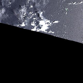
18 Mar 2026, 26 days before this event. 29.6% cloud across the tile.
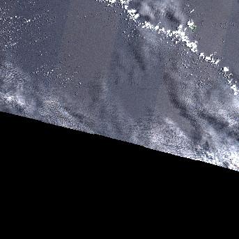
2 May 2026, 19 days after this event. 22.1% cloud across the tile.
The white ring marks where the event was reported.
Each image is a preview of a whole Sentinel-2 tile — an area of roughly 110 by 110 km, where one pixel is about 320 metres — not a close-up of the event, which may be a small part of it. "Clear" means under 30% cloud across the entire tile, so the exact place that matters can still be hidden. These are pictures for context, not an assessment of damage.
Contains modified Copernicus Sentinel data 2026, found through the Earth Search catalogue (Element 84) and served from the AWS Open Data Sentinel-2 archive.
General safety information
No authority has issued instructions for this event. The guidance below is general background reading, not a response to it.
Preparing for hurricane season, understanding watches vs warnings, storm surge evacuation, and riding out the storm safely.
Open Hurricane Safety Guide →Nearby & related events
Disclaimer: figures are automatic feeds from the named agencies and may be revised. Do not use this page for life-safety decisions — follow official local emergency services.