Severe Flood ● Active
Syria: Floods - May 2026
Loading live data… · Marker positions are approximate; severity is labelled in each popup. Sources: USGS, GDACS, NASA EONET, NOAA/NWS, EMSC.
In late May 2026, the Euphrates River experienced severe flooding, expanding to three times its normal size, from 60.9 km² to 188.7 km², following exceptional upstream rainfall and large‑scale dam water releases. The flood inundated 7,210 hectares of agricultural land, equivalent to 8.2% of all cultivated land in Deir‑ez‑Zor Governorate, at a critical time during the wheat harvest period. ([WFP, 3 Jun 2026](https://reliefweb.int/node/4214698/))
Since mid-May 2026, Syria has experienced severe flooding and rapidly rising water levels along the Euphrates River following a sharp increase in water inflow from upstream areas in Türkiye. Affected areas include Deir ez-Zor and Ar-Raqqa governorates in addition to Jarabulus from Aleppo governorate. The increased inflow, reportedly reaching approximately 2,200 m³ per second, is mainly attributed to seasonal snowmelt and the opening of spillways at upstream dams. As reservoir levels exceeded 97% of storage capacity, authorities initiated emergency water management measures, including the opening of three spillway gates at the Euphrates Dam for the first time in more than three decades. The flooding has resulted in the displacement of at least 1,626 families (approx. 8,280 people) in Deir ez-Zor Governorate, partial flooding of displacement sites in Ar-Raqqa, around 30 families, damage to agricultural land and disruption to critical infrastructure, including water stations and local access routes. ([IFRC, 9 Jun 2026](https://reliefweb.int/node/4215560/))
Based on the latest figures from the Directorate of Agriculture (DoA), nearly 20,500 dunumus had been affected by the floods. Oxfam's assessment of 89 farming households across three sub-districts, Al-Tebni, Deir ez-Zor, and Khasham, paints a picture of acute vulnerability. Nearly 85% of the farming population reported total or partial loss of agricultural income. Critically, 85% of irrigation systems (whether individual or community ones) across all surveyed areas are compl
Measurements
| Coordinates | 35.0100, 38.5100 |
|---|---|
| Region | Syrian Arab Republic |
| Reliefweb Status | ongoing |
| Reliefweb Type | Flood |
Reported by
Disaster reports from ReliefWeb, a service of UN OCHA
This is situation reporting from a humanitarian organisation, not a warning issued to the public.
Not rated by source. ReliefWeb (UN OCHA) does not publish a severity for this; the level shown is our own classification.
View original reportThis event as JSON · API and licence
Source updated 2 minutes ago (Oct 19, 2026 22:37 UTC) · we last heard from ReliefWeb (UN OCHA) 2 minutes ago
On a slow connection? Low-bandwidth version — no map, no scripts, under 14 KB.
Satellite view, before and after
The latest clear Sentinel-2 pass before this event and the earliest one after it.
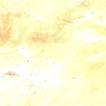
5 Jun 2026, 5 days before this event. 0% cloud across the tile.
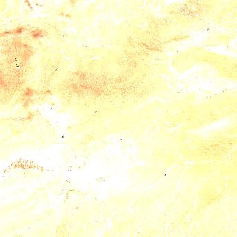
10 Jun 2026, the same day, after the event was reported. 11.8% cloud across the tile.
The white ring marks where the event was reported.
Each image is a preview of a whole Sentinel-2 tile — an area of roughly 110 by 110 km, where one pixel is about 320 metres — not a close-up of the event, which may be a small part of it. "Clear" means under 30% cloud across the entire tile, so the exact place that matters can still be hidden. These are pictures for context, not an assessment of damage.
Contains modified Copernicus Sentinel data 2026, found through the Earth Search catalogue (Element 84) and served from the AWS Open Data Sentinel-2 archive.
General safety information
No authority has issued instructions for this event. The guidance below is general background reading, not a response to it.
Flood preparation, evacuation decisions, and the dangers of driving or walking through floodwater.
Open Flood Safety Guide →Nearby & related events
Disclaimer: figures are automatic feeds from the named agencies and may be revised. Do not use this page for life-safety decisions — follow official local emergency services.