Severe Flood ● Active
Philippines: Floods - Aug 2026
Loading live data… · Marker positions are approximate; severity is labelled in each popup. Sources: USGS, GDACS, NASA EONET, NOAA/NWS, EMSC.
The Southwest Monsoon (Habagat) has intensified over the Philippines, bringing persistent and at times heavy to intense rainfall over western and northern Luzon, Metro Manila, and parts of MIMAROPA and the Visayas. The enhanced monsoon is being further influenced by an two LPAs east of Extreme Northern Luzon, which may develop into a tropical cyclone and is expected to continue enhancing the Habagat. As of 29 August 2026, PAGASA has issued multiple heavy rainfall warnings, including Red Warning over parts of Metro Manila and Occidental Mindoro, with serious flooding and landslides possible in affected areas. ([IFRC & Philippine Red Cross, 29 Aug 2026](https://reliefweb.int/report/philippines/phl-flood-08-2026-phl-enhanced-southwest-monsoon-habagat-2026-08-29))
The latest cumulative National Disaster Risk Reduction and Management Council (NDRRMC) Situational Report no. 27 from 30 August reported 7,467,238 people affected, with more than 1,500 areas flooded since the beginning of August. With combined damages to agriculture and infrastructure, the full cost is estimated at over 8 billion pesos (over 100 million CHF). 32 people have died and 17 injured by monsoon-related incidents. [...] According to NDRRMC, a total of 26,197 families (93,636 people) have been displaced, with 43,175 people temporarily taking shelter inside 529 evacuation centres as of 30 August. Almost 66,000 farmers and fisherfolk have been affected, and almost 60,000 hectares of Crops have suffered damages with around 10,000 hectares destroyed. In total the Agricultural sector has suffered estimated damages of over 2 billion pesos. ([IFRC, 2 Sep 2026](https://reliefweb.int/node/4228227))
According NDRRMC report as of 14 September, approximately 9.6 million people (2.8 million families) had been affected, with 44 fatalities, 18 injuries, and 5 people reported missing. Around 157,000 people remained displaced, including 76,000 people temporarily sheltering in 748 evacuation centres. ([AHA Centre, 14
Measurements
| Coordinates | 11.7400, 122.8800 |
|---|---|
| Region | Philippines |
| Reliefweb Status | ongoing |
| Reliefweb Type | Flood |
Reported by
Disaster reports from ReliefWeb, a service of UN OCHA
This is situation reporting from a humanitarian organisation, not a warning issued to the public.
Not rated by source. ReliefWeb (UN OCHA) does not publish a severity for this; the level shown is our own classification.
View original reportThis event as JSON · API and licence
Source updated 13 minutes ago (Oct 19, 2026 21:35 UTC) · we last heard from ReliefWeb (UN OCHA) 13 minutes ago
On a slow connection? Low-bandwidth version — no map, no scripts, under 14 KB.
Satellite view, before and after
The latest clear Sentinel-2 pass before this event and the earliest one after it.
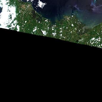
16 Aug 2026, 16 days before this event. 22.5% cloud across the tile.
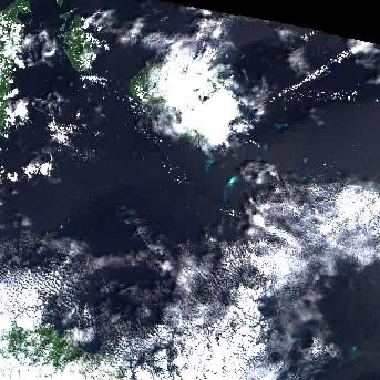
20 Sep 2026, 19 days after this event. 26.3% cloud across the tile.
The white ring marks where the event was reported.
Each image is a preview of a whole Sentinel-2 tile — an area of roughly 110 by 110 km, where one pixel is about 320 metres — not a close-up of the event, which may be a small part of it. "Clear" means under 30% cloud across the entire tile, so the exact place that matters can still be hidden. These are pictures for context, not an assessment of damage.
Contains modified Copernicus Sentinel data 2026, found through the Earth Search catalogue (Element 84) and served from the AWS Open Data Sentinel-2 archive.
Official authorities in Philippines
If you are there, these are the bodies whose instructions apply. This site is not an emergency service and does not issue warnings.
More for Philippines →General safety information
No authority has issued instructions for this event. The guidance below is general background reading, not a response to it.
Flood preparation, evacuation decisions, and the dangers of driving or walking through floodwater.
Open Flood Safety Guide →Nearby & related events
Disclaimer: figures are automatic feeds from the named agencies and may be revised. Do not use this page for life-safety decisions — follow official local emergency services.