Severe Flood ● Active
Lao PDR: Floods - Jul 2026
Loading live data… · Marker positions are approximate; severity is labelled in each popup. Sources: USGS, GDACS, NASA EONET, NOAA/NWS, EMSC.
Since late June 2026, Lao PDR had experienced recurrent flooding, flash floods, waterlogging and landslides associated with the southwest monsoon, Tropical Storm Maysak and subsequent weather systems. While flooding was first reported in late June, the situation progressively worsened through July and August as prolonged and repeated heavy rainfall caused cumulative impacts, with already affected areas experiencing further flooding, waterlogging and landslides, increasing damage and disrupting access.
[...] According to the LRC consolidated assessment dated 17 August 2026, flooding during July and August 2026 affected communities across six provinces: Khammouane, Savannakhet, Bolikhamxay, Luang Namtha, Xiengkhouang and Champasak. The assessment covered 25 districts and 395 villages, affecting 22,390 households (114,037 people), including 54,699 women, 13 persons with disabilities and one death. ([IFRC, 25 Aug 2026](https://reliefweb.int/node/4227079))
According to the latest Government data, 403,133 people from 81,484 families had been affected across 16 provinces. At least 7,528 people had been evacuated, with eight deaths, three injuries and one person reported missing. The situation continued to shift geographically, with northern provinces among the hardest hit. In Luang Namtha, severe flash flooding on 29 August affected 2,463 households; floodwaters reached the Boten Special Economic Zone, and six temporary shelters were established after the province was declared a disaster zone. Oudomxay experienced its third and most severe flood wave on 29-30 August, which affected 81 villages across Namor, Xay and La districts, while Luang Prabang recorded flash flooding. Khammouane continues to face significant cumulative impacts, with approximately 151,000 people affected across all 10 districts since July. ([UNFPA, 21 Sep 2026](https://reliefweb.int/node/4230629/))
Measurements
| Coordinates | 19.9200, 102.5900 |
|---|---|
| Region | Lao People's Democratic Republic (the) |
| Reliefweb Status | ongoing |
| Reliefweb Type | Flood |
Reported by
Disaster reports from ReliefWeb, a service of UN OCHA
This is situation reporting from a humanitarian organisation, not a warning issued to the public.
Not rated by source. ReliefWeb (UN OCHA) does not publish a severity for this; the level shown is our own classification.
View original reportThis event as JSON · API and licence
Source updated 11 minutes ago (Oct 19, 2026 19:44 UTC) · we last heard from ReliefWeb (UN OCHA) 11 minutes ago
On a slow connection? Low-bandwidth version — no map, no scripts, under 14 KB.
Satellite view, before and after
The latest clear Sentinel-2 pass before this event and the earliest one after it.
No scene under 30% cloud in the 60 days before this event.
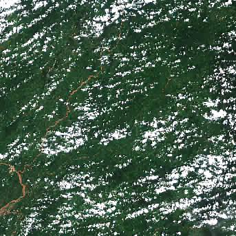
12 Sep 2026, 17 days after this event. 20.3% cloud across the tile.
The white ring marks where the event was reported.
Each image is a preview of a whole Sentinel-2 tile — an area of roughly 110 by 110 km, where one pixel is about 320 metres — not a close-up of the event, which may be a small part of it. "Clear" means under 30% cloud across the entire tile, so the exact place that matters can still be hidden. These are pictures for context, not an assessment of damage.
Contains modified Copernicus Sentinel data 2026, found through the Earth Search catalogue (Element 84) and served from the AWS Open Data Sentinel-2 archive.
General safety information
No authority has issued instructions for this event. The guidance below is general background reading, not a response to it.
Flood preparation, evacuation decisions, and the dangers of driving or walking through floodwater.
Open Flood Safety Guide →Nearby & related events
Disclaimer: figures are automatic feeds from the named agencies and may be revised. Do not use this page for life-safety decisions — follow official local emergency services.