Severe Flood ● Closed
Kenya: Floods - Mar 2026
Loading live data… · Marker positions are approximate; severity is labelled in each popup. Sources: USGS, GDACS, NASA EONET, NOAA/NWS, EMSC.
From 21-22 April, severe thunderstorms, heavy rain and strong winds battered Mombasa and Kwale counties in south‑east Kenya, triggering localised flooding, displacing residents, damaging homes and disrupting essential infrastructure.
In Mombasa county, media reports dated 22 April indicated that over 100 households were displaced, with extensive damage to dwellings. Flash floods blocked transport routes in Nyali sub‑county, and access to health services was interrupted in Tudor, Mvita sub‑county.
In Kwale county, one person remains missing after being swept away by floodwaters, and five households were affected as well. Additionally, several villages have been cut off and small‑scale farmers face significant agricultural losses.
A further 24‑hour forecast predicts moderate, scattered rain across the south‑east, north‑east and south‑west regions. ([ECHO, 24 April 2026](https://reliefweb.int/node/4209166))
On 6th March 2026, at approximately 1830 hours, flash floods struck Nairobi and its surrounding areas following an intense six‑hour
downpour. Rainfall levels reached unprecedented highs, with 160 mm recorded at the Wilson Airport meteorological station, 145 mm at
Moi Air Base, 112 mm in Dagoretti, and 117 mm at the Kabete station, all within a span of 3 to 5 hours. The capital city had just
experienced over 534mm of rainfall. The heavy rains swept away bridges, destroyed homes, and rendered major roads impassable, leaving hundreds of residents displaced. The combination of loss of life, widespread property damage, and signicant disruption to critical infrastructure further compounded the crisis. Nationwide, 53 people lost their lives, including 27 fatalities in Nairobi in a single night. ([IFRC, 12 May 2026](https://reliefweb.int/node/4211737))
Measurements
| Coordinates | 0.5300, 37.8600 |
|---|---|
| Region | Kenya |
| Reliefweb Status | past |
| Reliefweb Type | Flood |
Reported by
Disaster reports from ReliefWeb, a service of UN OCHA
This is situation reporting from a humanitarian organisation, not a warning issued to the public.
Not rated by source. ReliefWeb (UN OCHA) does not publish a severity for this; the level shown is our own classification.
View original reportThis event as JSON · API and licence
Source updated 7 days ago (Oct 12, 2026 03:46 UTC) · we last heard from ReliefWeb (UN OCHA) 2 minutes ago
On a slow connection? Low-bandwidth version — no map, no scripts, under 14 KB.
What has changed
- Marked as ended by the source — Sep 9, 18:54 UTC by ReliefWeb (UN OCHA)
- Reopened by the source — Sep 9, 18:38 UTC by ReliefWeb (UN OCHA)
- Marked as ended by the source — Sep 9, 08:58 UTC by ReliefWeb (UN OCHA)
Figures published in the first minutes of an event are preliminary. A change here is the agency refining its own estimate, not a correction to this page.
Satellite view, before and after
The latest clear Sentinel-2 pass before this event and the earliest one after it.
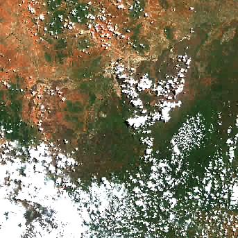
22 Apr 2026, 7 days before this event. 24% cloud across the tile.
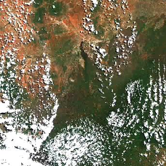
2 May 2026, 3 days after this event. 24.7% cloud across the tile.
The white ring marks where the event was reported.
Each image is a preview of a whole Sentinel-2 tile — an area of roughly 110 by 110 km, where one pixel is about 320 metres — not a close-up of the event, which may be a small part of it. "Clear" means under 30% cloud across the entire tile, so the exact place that matters can still be hidden. These are pictures for context, not an assessment of damage.
Contains modified Copernicus Sentinel data 2026, found through the Earth Search catalogue (Element 84) and served from the AWS Open Data Sentinel-2 archive.
Official authorities in Kenya
If you are there, these are the bodies whose instructions apply. This site is not an emergency service and does not issue warnings.
More for Kenya →General safety information
No authority has issued instructions for this event. The guidance below is general background reading, not a response to it.
Flood preparation, evacuation decisions, and the dangers of driving or walking through floodwater.
Open Flood Safety Guide →Nearby & related events
Disclaimer: figures are automatic feeds from the named agencies and may be revised. Do not use this page for life-safety decisions — follow official local emergency services.